

How to read an astrocartography map
Content version · · Sources & references
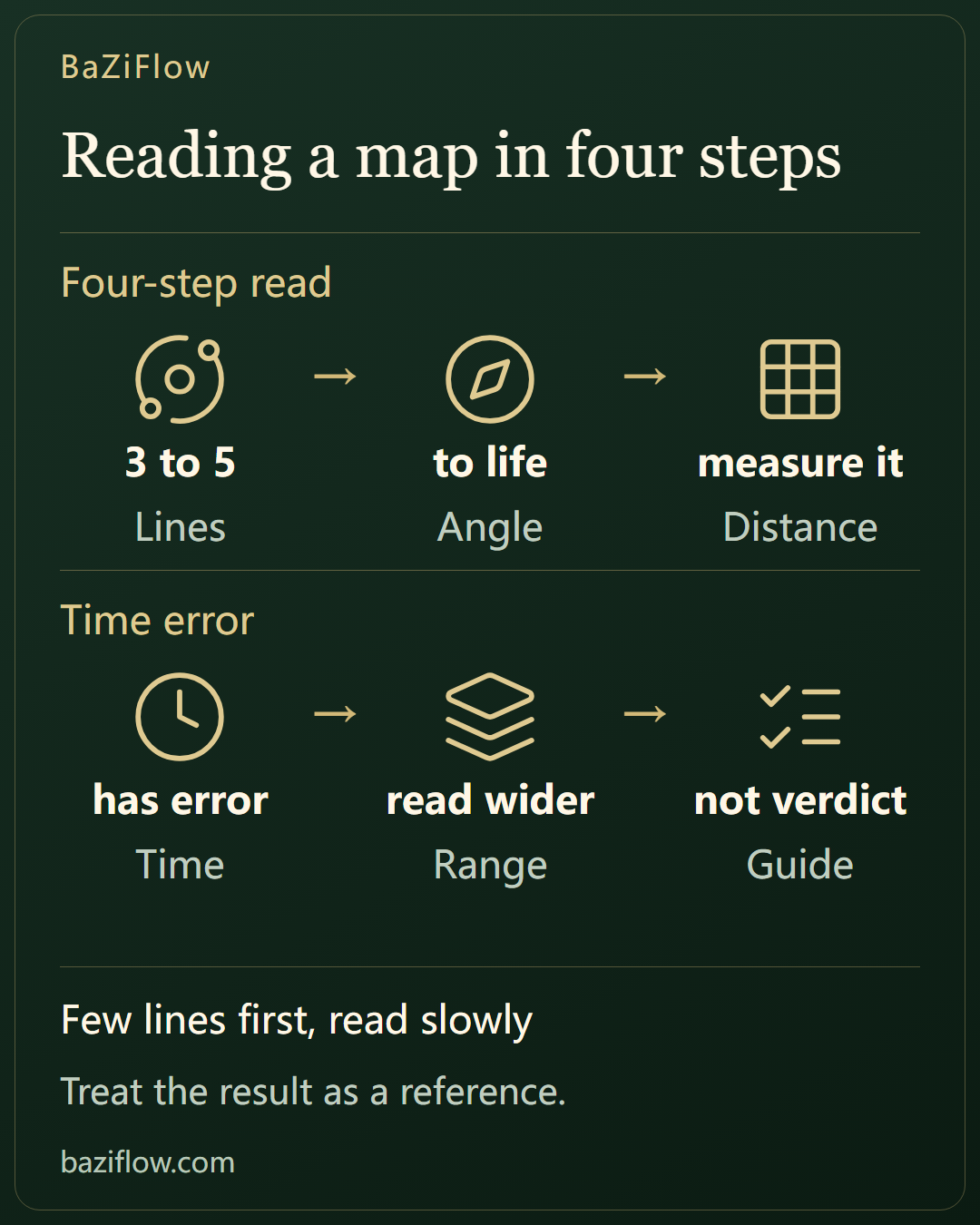
Where to start with an astrocartography map: four steps of picking key lines, linking angles to life areas, measuring a city’s distance from a line, and allowing for how birth-time error shifts the lines.
The short version5 min read
A map can carry up to 48 lines, and the first look is dizzying. If you follow a fixed order and answer one small question at a time, that crowd of lines turns into a handful of useful prompts.
- Four steps: pick the few lines that matter, link each angle to an area of life, measure how far the city is from the line, then allow for birth-time error.
- Four minutes of birth-time error slides the whole set of lines about one degree of longitude, near 111 km at the equator; twenty minutes is around 550 km and one hour about 15 degrees. MC, IC, ASC and DSC shift alike.
- If the birth time is unknown the map is drawn for noon: the lines as a whole are estimated, the city ranking is rough and no year check is offered; treat the outcome as a reference.
Read first
Reading Astrocartography Lines: MC, IC, ASC, DSC and Distance ↗
Step one: pick the few lines that matter
Faced with 48 lines, do not try to read them all in one go. Ask what you care about most, switch off unrelated planets in the legend and keep three to five. There are two common ways to choose: start from your goal, so someone after career keeps Jupiter and the Sun first; or start from the most prominent planets in the birth chart, such as the rulers of your Sun, Moon and rising sign.
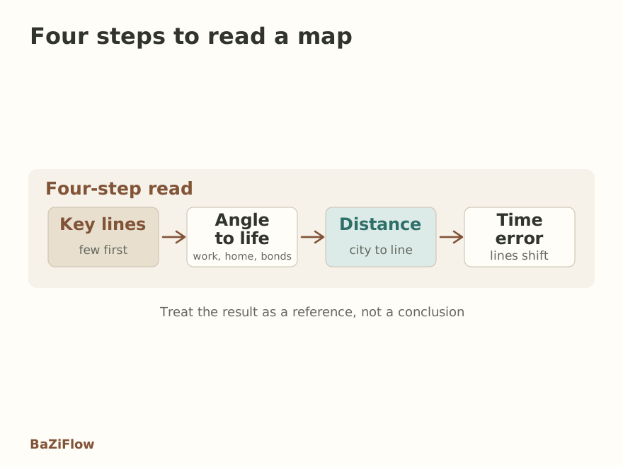
Four steps: key lines, angles, distance, time error.
The benefit of few lines is that each can be read clearly. Switch everything on at once and the screen full of color makes every city seem to have “something”, which leaves nothing to compare. Once you have read those lines, add other planets gradually and see whether anything new overlaps.
Enlarge diagram · scroll sideways to read
Step two: link each angle to an area of life
With the lines chosen, look at which angle each one is. In traditional reading the MC governs the public role and goes with career and reputation; the IC governs private roots, meaning home and inner steadiness; the ASC governs how you begin and how you come across; the DSC governs how you meet others, meaning partnership and intimacy. For what each angle means, return to the four angles.
The trick is to join planet and angle into one sentence, such as “Jupiter MC: openings in public settings”. Make that sentence as specific as one area of life rather than a loose phrase like “good luck”. The overview of planet lines lists the fuller associations.
How each angle lands in daily life
MC
Public role and reputation; ask “do I want more people to see me?”
IC
Home and roots; ask “do I want to put down roots here?”
ASC
Self and first impressions; ask “do I want a fresh start?”
DSC
Partners and intimacy; ask “whom do I want to meet here?”
Step three: measure the city’s distance from the line
Distance is what readers forget most. A line is thin while a city is an area: some cities sit right on it and others miss it by hundreds of km. This site sorts distance into three bands: on the line is within 150 km, near is within 500 km, and beyond 500 km is far with a weak influence; past 600 km nothing is scored. The closer to the line, the better the reading fits; the farther, the more it becomes a faint backdrop.
One more caution: one city can lie near several lines at once. Then do not fixate on the nearest; list the three lines around it with their distances and judge which fits your goal best. Tapping a spot on the map lists the nearest city and the three nearest lines, which is exactly what this step needs.
Enlarge diagram · scroll sideways to read
Step four: how far birth-time error moves the lines
The Earth turns once in 24 hours, which is about one degree of longitude every four minutes. If the birth time is four minutes out, the lines across the whole map slide about one degree east or west. Near the equator a degree is about 111 km, and the farther from the equator you go, the fewer km a degree covers. By the same arithmetic, twenty minutes out pushes lines about five degrees, near 550 km at the equator.
All lines are affected equally: the Earth’s rotation slides the whole set east or west together, and no angle among MC, IC, ASC and DSC is more sensitive than another. So when the time is doubtful, do not treat “the city sits exactly on this line” as key evidence; a wider band is the steadier way to read.
Enlarge diagram · scroll sideways to read
Unknown birth time, and how to use the result
If the birth time is unknown, this site draws the map for noon. The planets’ own places are still fairly reliable, but where the lines land on Earth is estimated, an hour of error moving them about 15°; city ranks are approximate, so no year check is given. The remedy is to ask family, check the birth certificate or hospital records; even narrowing the time to an hour or two is better than none at all.
Finally, put what you read back in its proper place. A line is a directional prompt that says certain themes may stand out in certain places. It will not decide whether you move, nor tell you what will happen. Treat it as a talking point, as you might with a friend, and then check it against real life; that is its best use.
Pick a few lines
Use the legend to narrow to three to five rather than reading everything.
Link angle to life
Join planet and angle into one specific sentence tied to your goal.
Measure distance
List the three lines near the city with their distances and choose by goal.
Allow for time error
When the birth time is shaky, read a wider band and skip the fine detail.
Questions readers ask next
What should I look at first on a new map?
Do not read everything. Keep three to five lines that fit your goal, link their angles to life areas, measure the city’s distance, and only then allow for birth-time error.
How much does a twenty-minute birth-time error matter?
The lines slide about five degrees of longitude, roughly 550 km near the equator. Farther from the equator the same degrees cover fewer km, and all lines are hit alike because the whole set slides together.
Is the map still useful without a birth time?
Somewhat, but loosen your reading. This site draws it for noon, so both the lines and the city ranks are approximate and no year check is shown; try to confirm the time with family or records.
Was this article helpful?
Sources & references
Continue reading
Reading Astrocartography Lines: MC, IC, ASC, DSC and Distance ↗
Which Astrocartography Lines to Read When Choosing Where to Live ↗